Aircraft Spruce & Specialty Co.


- Photo may represent series and not specific product
- SHARE


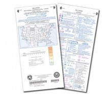
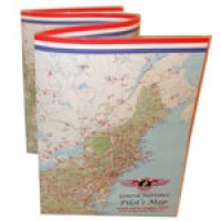
Pilot's Laminated Wall Map
MFR Model# PMWP
 FREE Shipping
- JUMP TO
- Overview
- Features
- Reviews
- Q&A
- View in Catalog
Overview
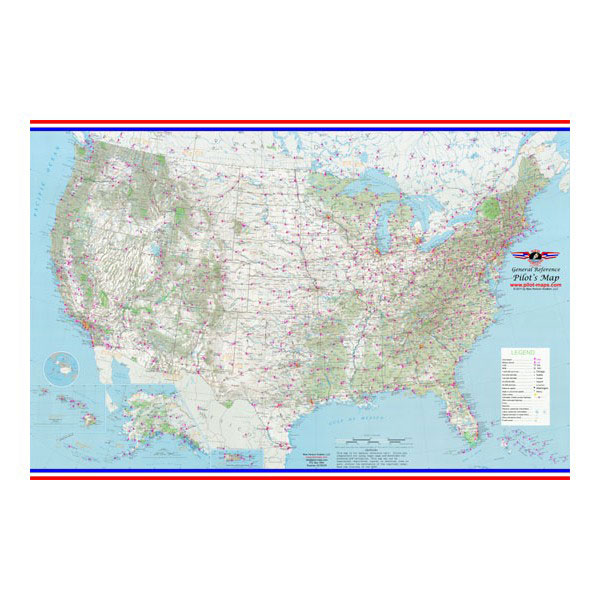
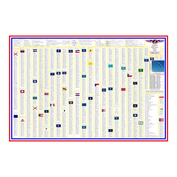
| This map measures 3 feet by 2 feet and is encapsulated on both sides by a rugged 3 mil laminate for durability. The map is extremely detailed and includes hundreds of airports (civil and military), vor's, ndb's, terrain features, national parks, cities, time zones, etc. The back of the map has a very detailed AM radio frequency guide for all 50 states, the District of Columbia, Puerto Rico, and the U.S. Virgin Islands. |
Features
- Contains state information including capitals, square mileage, population, and nick names along with each state flag
- Great for pilots and aviation enthusiasts
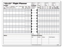
- Flight plan information, ATC light gun signals, cruising altitudes, and a crosswind component chart included
Q&A
Please note, Aircraft Spruce's personnel are not certified aircraft mechanics and can only provide general support and ideas, which should not be relied upon or implemented in lieu of consulting an A&P or other qualified technician. Aircraft Spruce assumes no responsibility or liability for any issue or problem which may arise from any repair, modification or other work done from this knowledge base. Any product eligibility information provided here is based on general application guides and we recommend always referring to your specific aircraft parts manual, the parts manufacturer or consulting with a qualified mechanic.
It is a USA map. Only the southern border of Canada is displayed.
This map is rolled. We do not offer it unlaminated.
The airports depicted are commercial and military use airports. At this scale municipal and smaller airports are generally not included.